$752,000
$500,000
50.4%For more information regarding the value of a property, please contact us for a free consultation.
ALTAMONT SPRINGS Grantsville, MD 21536
742.16 Acres Lot
Key Details
Sold Price $752,000
Property Type Vacant Land
Sub Type Land
Listing Status Sold
Purchase Type For Sale
MLS Listing ID MDGA2000934
Sold Date 12/17/21
HOA Y/N N
Originating Board BRIGHT
Annual Tax Amount $9,683
Tax Year 2020
Lot Size 742.160 Acres
Acres 742.16
Property Description
"THE PRICE LISTED IS THE OPENING BID FOR THE ONLINE AUCTION, IT IS NOT THE LIST PRICE!"
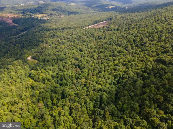
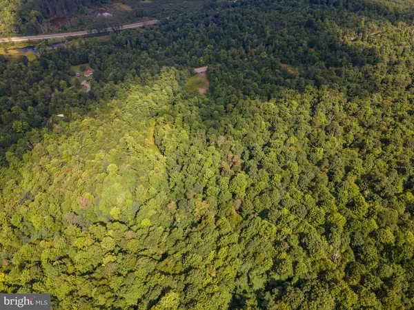
729.36+/- Acres being sold together in five parcels. Sold via Special Warranty Deed.
Subject properties are situated off Eagle Rock Rd southeast of Deer Park, Loch Lynn, Mt Lake Park and Oakland affording a variety of employment opportunities. Most community services are situated in Oakland Garrett County' s seat. State hunting and fishing game lands are also in close proximity to the subject property.
Five parcels being sold together, including:
129.26+/- Acres Altamont Springs, Grantsville, MD (Tax ID: 10004284 | Map Reference: M80 P35 | GPS Coordinates: 39.423112, -79.277199) is a vacant lot that is heavily wooded.
104.54+/- Acres Altamont Springs, Grantsville, MD (Tax ID: 10007240 | Map Reference: M80 P21 | GPS Coordinates: 39.424935, -79.260505) is a plot of vacant, wooded land located south of Hwy 135.
212.65+/- Acres Altamont Springs, Grantsville, MD (Tax ID: 10007224 | Map Reference: M80 P29 | GPS Coordinates: 39.424557, -79.276552) is a heavily wooded, vacant land.
251.70+/- Acres Altamont Springs, Grantsville, MD (Tax ID: 10007267 | Map Reference: M80 P2 | GPS Coordinates: 39.418106, -79.280847) is a large plot of vacant, heavily wooded land.
31.21+/- Acres Altamont, Grantsville, MD (Tax ID: 10004357 | Map Reference: M74 P135 | GPS Coordinates: 39.426004, -79.273206) is a long plot of vacant, heavily wooded land, bordered by Maryland Hwy 135.
There is no Buyer's Premium on this asset. Property Sold "As-is". Buyer and/or buyer's agent responsible for verifying all pertinent information including but not limited to condition, taxes, utilities, square footage, acreage, school zones, permitting, zoning, etc. The final auction contract will be non-contingent on inspections or financing. Buyers need to conduct all due diligence prior to bidding. This property will be sold via Special Warranty Deed. The Seller will convey clear, insurable title at closing.
Location
State MD
County Garrett
Zoning NA
Exterior
Water Access N
Garage N
Building
Sewer Other
Water None
Schools
School District Garrett County Public Schools
Others
Tax ID 1210004357,10007240,10007224,10007267,10004357
Ownership Fee Simple
SqFt Source Estimated
Special Listing Condition Auction
Read Less
Want to know what your home might be worth? Contact us for a FREE valuation!

Our team is ready to help you sell your home for the highest possible price ASAP

Bought with Non Member • Metropolitan Regional Information Systems, Inc.
GET MORE INFORMATION


